Natural Hazards
Natural hazards include floods, droughts, bushfires, cyclones and earthquakes. They have the potential to cause great harm or damage to human life, property, and the environment. The impacts of climate change, such as rising temperatures, sea levels, and changes in precipitation patterns, are exacerbating the frequency and intensity of some natural hazards. These natural phenomena are a global concern that requires coordinated action at local, national, and international levels to reduce risks, enhance resilience, and protect lives and livelihoods worldwide.
In Australia, bushfires, floods, storms and heat are impacting Australians like never before. The frequency and intensity of these events are increasing, and agencies are dealing with multiple, compounding disasters that stretch resources and leave little time for recovery.

Why smart sensing is part of the solution
The 2020 Royal Commission into National Natural Disaster Arrangements provided several recommendations about using sensing and data to improve our ability to deal with natural disasters. These were echoed in the 2020 NSW Bushfire Inquiry , 2022 NSW Flood Inquiry and more recently in the 2024-2026 NSW State Disaster Mitigation Plan. Much of this data will be provided by sensors of various types and the associated analytics, communications and data sharing technologies. Smart sensing provides the data and intelligence to support the capabilities required for each stage of natural hazards:


Investment in smart sensing technologies is already providing benefits. Remote and in-situ sensing provides valuable data that inform fire and flood risk modelling and monitoring. New sensing technologies are providing information about bushfires, catchments, soil moisture and water resources. Heat sensors combined with advanced modelling are providing evidence to support investment in urban heat mitigations.


The NSSN Natural Hazards Grand Challenge responds to the following UN Sustainable Development Goals (SDGs):


With the support of the NSW Government, the NSSN is your one-stop shop for multi-disciplinary expertise and technology. Some of our existing Natural Hazards projects include:
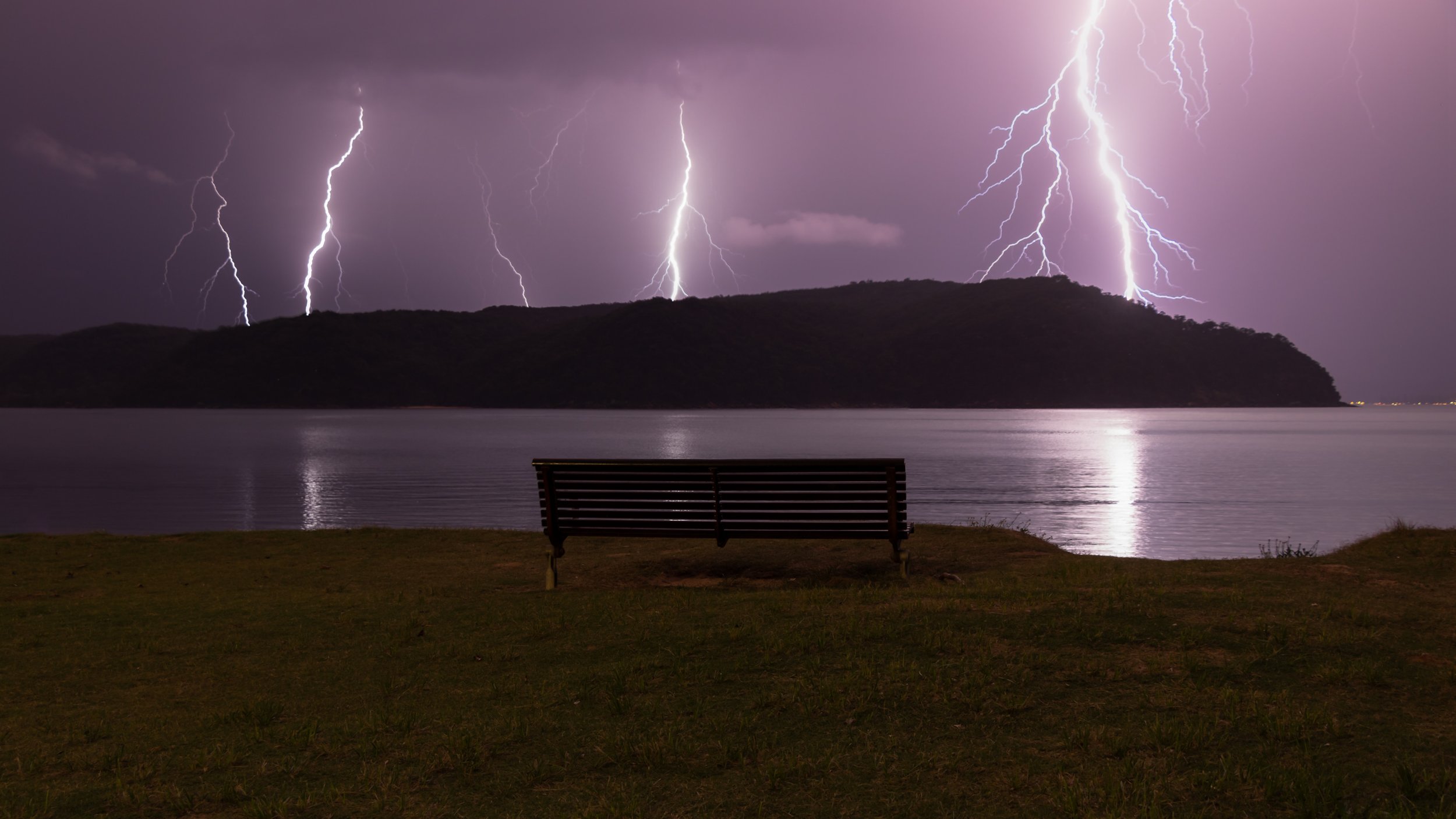
Detecting high-risk lightning strikes which help avoid catastrophic bushfires
The High Risk Lightning Detection project can detect the component of lightning responsible for ignition. Combined with satellite data on forest fuel load and vegetation moisture levels across Australia, the system can predict if a bushfire is likely to start. This project used novel lightning detectors capable of measuring the attributes of High Risk Lightning (HRL), including long continuing currents and charge transfer, that lead to heating. This helps fire agencies efficiently target this small proportion of HRL strikes.
Helping our emergency services respond better to floods
The Improved operation flood intelligence for NSW project will help emergency services respond better to flood events that can stretch for weeks and months as the flood wave travels downstream. Emergency services need more data on the flood rate-of-rise and of the critical flood levels. This project will provide a proof-of-concept in using machine learning methods to provide extra flood intelligence to the NSW State Emergency Service based on data from a range of sensors.
Dual-use technologies for safeguarding Australia
The Sensing Technologies for Australian Resilience Cooperative Research Centre (STAR CRC) is a 10-year industry-research collaboration to develop smart sensing technologies to enhance the resilience of Australia. The STAR CRC will foster greater collaboration between Australia’s defence and emergency response sectors to deliver dual-use technologies for safeguarding Australia from both external threats and natural disasters.
Working with the NSSN simplifies the process of engaging with universities by creating a one-stop shop for the leading research-intensive universities across NSW & the ACT, providing access to cutting-edge facilities and world-class researchers.
To find out how the NSSN can help solve your Natural Hazards challenges, please contact Peter Runcie at peter.runcie@nssn.org.au.