From AI to drones and smart sensors: NSSN showcases next-generation bushfire technologies for the NSW Rural Fire Service
The NSW Rural Fire Service (RFS) heard 26 innovative pitches featuring the latest technologies to predict, prevent and respond to bushfires at the NSSN’s recent Bushfire Research Pitch Day, held at RFS Headquarters in Homebush.
NSW RFS Deputy Commissioner Peter McKechnie. Credit: NSSN
NSW RFS Deputy Commissioner Peter McKechnie praised the range of ideas and projects presented as important steps forward for the service, which is focused on being better prepared for the next major fire season.
He said the RFS is embracing a new mindset toward innovation, one that balances risk with opportunity.
“Traditionally, we’ve waited for technology to be proven beyond doubt before adopting it, but after the 2019-20 Black Summer fires we realised we need to push boundaries, trial new ideas and learn faster,” he said.
Professor Jason Prior from UTS Institute of Sustainable Futures discussed Conja, a smartphone-based visual intelligence platform which could be co-designed to help community organisations like NSW Meals on Wheels assess fire risk for the four million vulnerable older Australians living at home.
Using AI, machine learning and computer vision, Conja can analyse images of homes and surroundings to identify hazards like tree cover, accessibility issues and medical needs.
This data can then be shared with carers and emergency services to guide preparedness, evacuation and recovery.
By integrating networks with advanced sensing, the technology aims to keep people living safely at home longer.
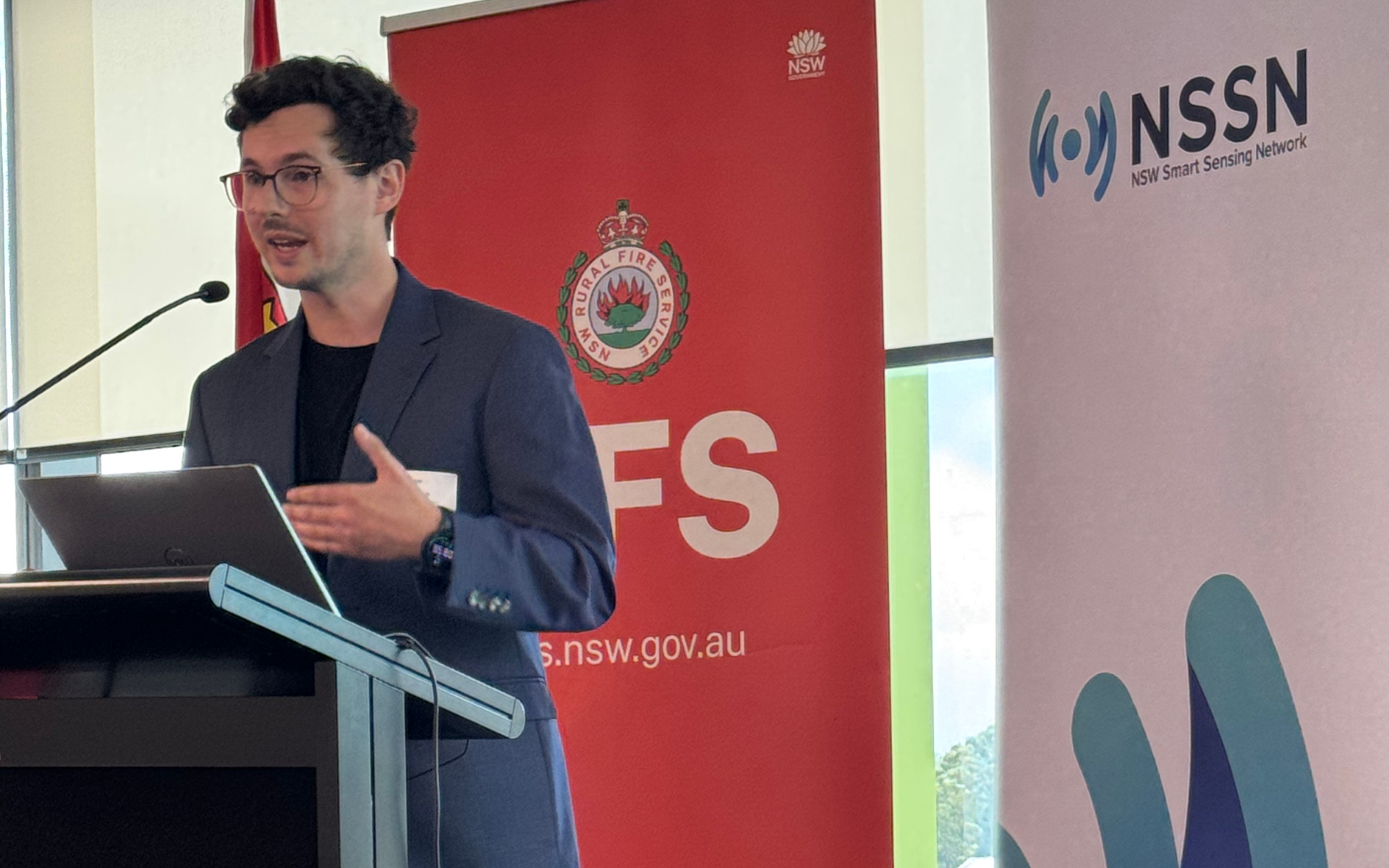
Dr Nicholas Ralph from Western Sydney University. Credit: NSSN
Dr Nicholas Ralph from Western Sydney University’s International Centre for Neuromorphic Systems showcased the Daedalus Pathfinder System, a new way for emergency services to see bushfires from a whole new altitude.
The system uses a balloon-launched, fixed-wing glider that operates in near space, bridging the gap between satellites and drones.
Flying up to 35 kilometres above the Earth, Daedalus carries modular sensing payloads such as infrared, multispectral and neuromorphic imaging sensors.
The low-cost, rapidly deployable system can be launched on demand to deliver wide-area, real-time data that enhances bushfire prediction, response and recovery.
A/Prof Alex Filkov from the University of Melbourne’s School of Agriculture, Food and Ecosystem Sciences, is developing a real-time monitoring network that links ground sensors and data platforms to deliver live fire intelligence.
The project integrates robust environmental and fire sensors which measure air temperature and humidity, fuel moisture and fire intensity, even under extreme heat.
These portable, battery-powered devices can be remotely controlled and transmit data via LoRaWAN networks to visualise changing conditions in real time.
By providing continuous, accurate data during wildfires and prescribed burns, the system will help fire managers make faster, safer and more informed decisions.
Aftermath of an Australian bushfire. Jace Emberg from DCCEEW is studying how different fire regimes affect soil. Credit: AdobeStock
A/Professor Negin Shariati from the RFCT Lab at UTS. Credit: NSSN
Soil scientist Jace Emberg from the NSW Department of Climate Change, Energy, the Environment and Water is studying how different fire regimes affect the health of Australia’s “living soils.”
The HFLIP and Living Soils project compares cultural burns with high-frequency, low-intensity prescribed burns to understand their impacts on soil biology, chemistry and structure.
Using tools such as environmental DNA (eDNA) sequencing, nutrient testing and thermal loggers, the research tracks how soils recover over time after fire.
The goal is to develop an evidence-based framework — in partnership with fire agencies and Indigenous practitioners — to guide sustainable, ecosystem-friendly fire management.
Dr Rasool Kehsvarz and A/Prof. Negin Shariati from the RFCT Lab at UTS is developing highly accurate, low-cost and AI-driven sensing solution to improve bushfire detection and environmental monitoring.
The next-generation sustainable sensing system uses hybrid in-situ and remote sensing to measure temperature, humidity and soil moisture, removing the need for maintenance.
Data collected via radar systems mounted on trees, stands, or drones can be integrated with existing disaster management systems to provide real-time situational awareness.
The sustainable sensing technology, integrated with predictive intelligence, aims to make fire monitoring smarter, safer and more affordable across vast, remote landscapes.
Mona Raoufi from the University of Wollongong is developing AI-powered systems to make fixed-wing uncrewed aerial vehicles (UAVs) smarter, safer, and more reliable during bushfire operations.
A/Prof Tim Doyle from Macquarie University is studying how fatigue affects bushfire firefighters’ safety, decision-making and teamwork. Credit: AdobeStock
Using machine learning methods, including reinforcement learning, her research enables multiple UAVs to coordinate, plan flight paths, and avoid obstacles in real time.
The technology allows UAVs to autonomously track fire fronts and gather critical data in the dynamic environment of bushfires.
By enhancing UAV coordination and safety, the project aims to improve fire mapping accuracy and support more effective responses to future bushfires.
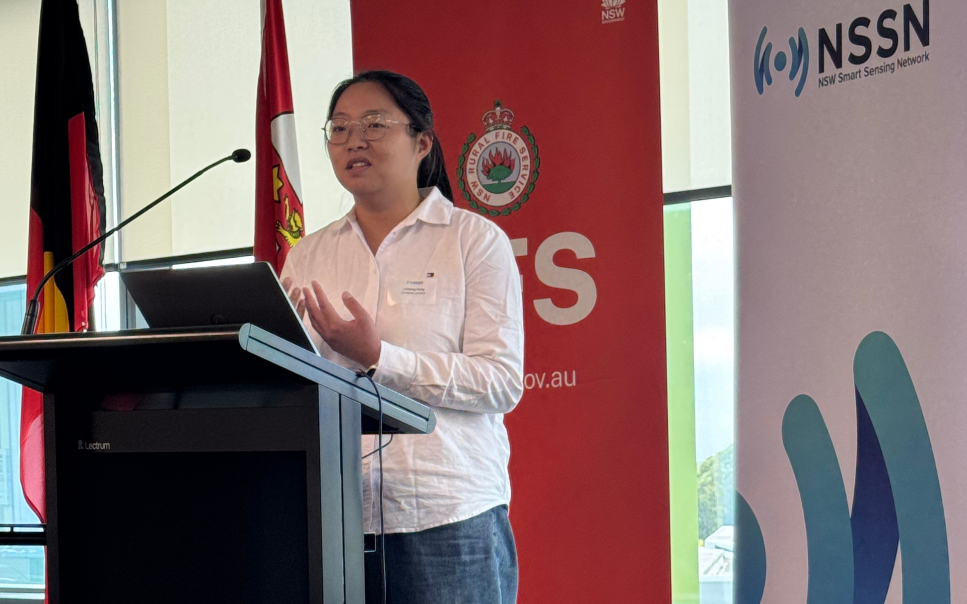
Research by Dr Licheng Feng, Postdoctoral Research Fellow at UNSW Minerals and Energy Resources Engineering, is developing risk-driven based aerial drone systems for bushfire surveillance and suppression.
It begins by calculating the minimum drone fleet size necessary to achieve persistent and complete spatial coverage, with the capacity to refresh critical information within a specified time interval.
Dr Licheng Feng, Postdoctoral Research Fellow at UNSW Minerals and Energy Resources Engineering. Credit: NSSN
It further uses risk-based modelling to determine where and when UAVs should operate, ensuring continuous monitoring of the most active fire zones.
By analysing sensor data and predicting fire spread in real time, the system enables drones to coordinate and adapt flight paths as conditions change.
The goal is to make aerial firefighting smarter, faster and more effective, improving safety and resource use during bushfire emergencies.
Dr Endrowednes Kuantama from Macquarie University’s Advanced Drone Systems Research Centre is developing a seamless drone handover system to enable continuous monitoring during bushfires and wildlife emergencies.
When one drone’s battery runs low or GPS fails, a second drone can automatically locate and take over its mission using AI-driven computer vision and short-range communication.
The system ensures uninterrupted tracking of fire fronts, hotspots or endangered species, even in smoke or low-visibility conditions.
This innovation could transform aerial surveillance by giving firefighters and conservation teams real-time, continuous situational awareness when it’s needed most.
A/Prof Tim Doyle from Macquarie University’s Performance and Expertise Research Centre is leading a project to better understand how fatigue affects bushfire firefighters’ safety, decision-making and teamwork.
Using wearable sensors that track heart rate, movement and temperature, his team is studying how exhaustion builds during real firefighting tasks.
The data will help identify critical fatigue thresholds and guide evidence-based strategies for safer training, rostering and recovery.
By turning fatigue into a measurable, preventable risk, the research aims to keep firefighters healthier, more alert and better protected on the frontline.
Research by Moana Raoufi from University of Wollongong enables multiple UAVs to coordinate, plan flight paths, and avoid obstacles in real time. Credit: Adobestock
Professor Matthias Boer from Western Sydney University’s Hawkesbury Institute for the Environment is using artificial intelligence to forecast bushfire activity across Australia up to three months in advance.
The AI-FireCast-S system analyses vast environmental datasets - from vegetation and soil moisture to weather and topography - to predict where fires are most likely to occur.
Validation against independent data show overall accuracies of 85-90 percent, outperforming existing AI-based fire forecasting models.
By turning complex data into actionable, seasonal forecasts at operationally relevant resolutions, the technology could help emergency services plan and better protect lives, property, and ecosystems.
NSSN Natural Hazards Theme Lead Peter Runcie said the day was a fantastic opportunity for researchers to “pitch” their ideas to RFS and the other fire management agencies.
“The researchers were pitching for feedback from those with practical, operational experience while also raising awareness of their research capabilities with the agencies,” he said.
The agencies will now meet to discuss what they heard, provide additional feedback to researchers and identify specific ideas they may wish to pursue further.


