Meet two researchers using smart sensing technologies to tackle climate challenges
On International Day of Women and Girls in Science, we celebrate two emerging researchers who are using smart sensing innovations to help solve climate and environmental challenges, from Antarctica to Australian farms.
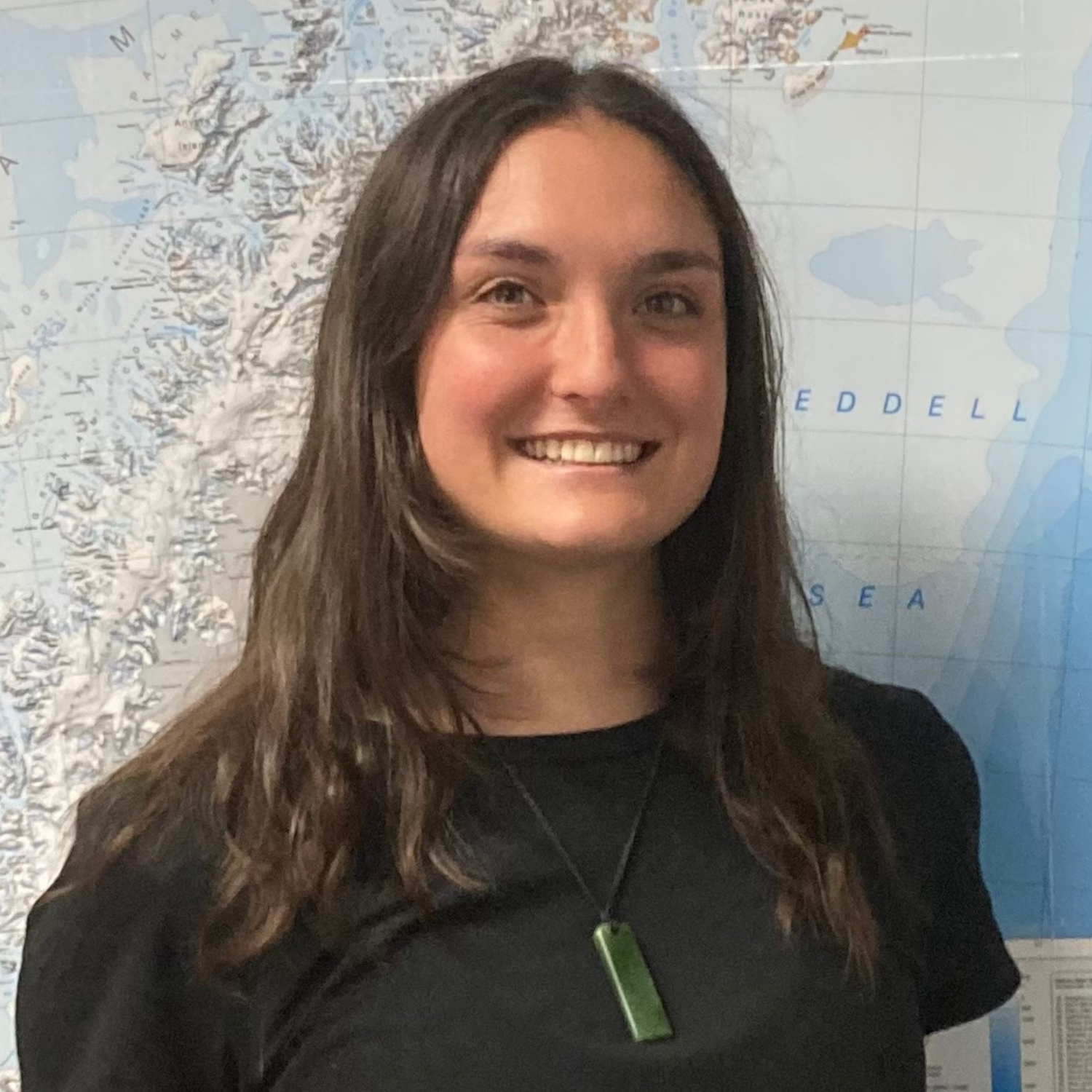
Cassie Newman. Credit: Supplied
Cassie Newman, PhD Student at Securing Antarctica's Environmental Future and University of Wollongong
My PhD research investigates how water availability shapes where photosynthetic life can survive in Antarctica and how resilient it may be as the climate changes.
In one of the coldest and driest environments on Earth, life depends on a very short summer window when ice melts and liquid water becomes available.
Understanding where this water flows and which ecosystems it supports helps explain why photosynthetic organisms grow in some places but not others.
This research uses smart sensing technologies, including satellite imagery, UAV data, digital elevation models, and multispectral and hyperspectral sensors to map surface moisture, terrain, and vegetation condition without disturbing fragile environments.
Antarctica is changing rapidly and understanding how its ecosystems respond matters far beyond the continent itself.
This research is driven by a desire to better protect some of the most vulnerable and least disturbed environments on Earth.
This research is driven by a desire to better protect some of the most vulnerable and least disturbed environments on Earth. Being part of a research community led by inspiring scientists at the University of Wollongong and within Securing Antarctica’s Environmental Future has reinforced the importance of collaboration, mentorship, and investing in diverse voices in science.

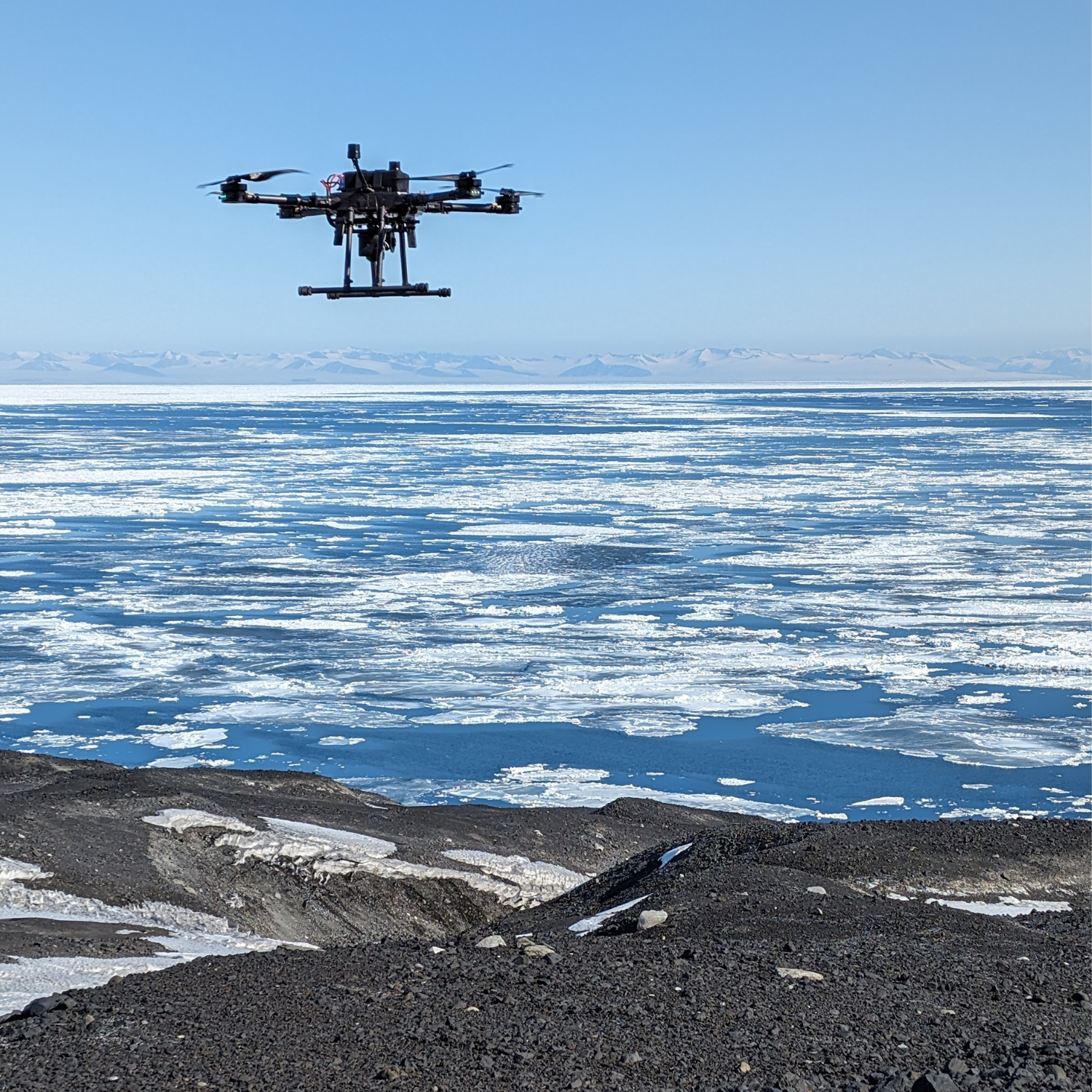
LEFT: Cassie’s supervisor Barbara Bollard carrying a drone in Antarctica.
MIDDLE: Drones are used to help map surface moisture, terrain, and vegetation condition without disturbing fragile environments.
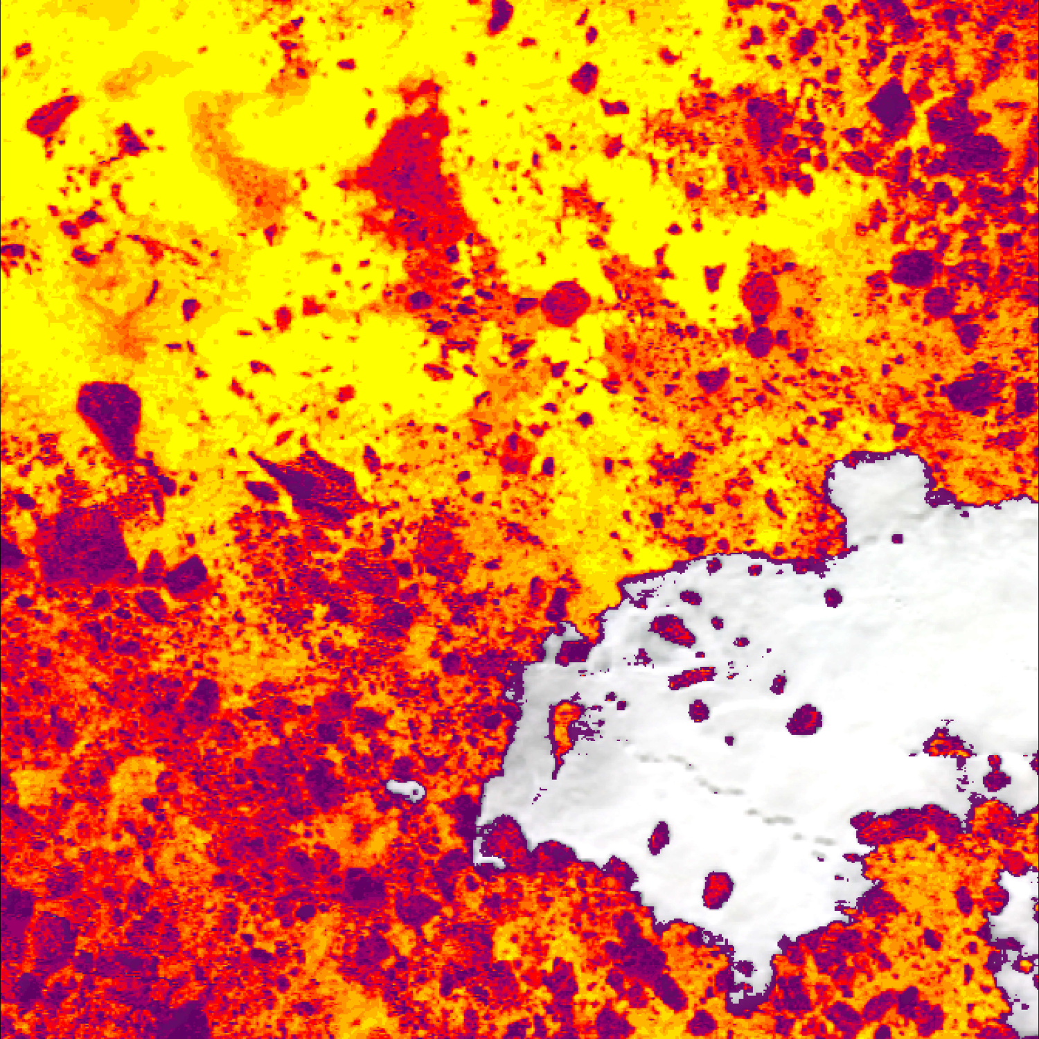
RIGHT: This MSAVI (Modified Soil Adjusted Vegetation Index) image showing classified ground cover in Antarctica. MSAVI is a key remote sensing tool used to map and classify vegetation in Antarctica.
All images supplied

Dr Wartini Ng. Credit: Supplied
Dr Wartini Ng, research fellow at Sydney Institute of Agriculture and School of Life and Environmental Sciences, University of Sydney
My research focuses on developing a soil carbon measurement technology which allows carbon stocks to be assessed quickly and at much lower cost.
At present, soil carbon measurement relies on laboratory testing, which can take weeks and cost hundreds of dollars per sample. This creates a significant barrier for farmers who want to monitor soil health or participate in carbon markets.
The proposed technology integrates several sensors into a single field-based system.
An optical sensor estimates soil properties, a moisture sensor measures water content, and a depth sensor records sampling depth.

Photo shows a field-based soil carbon measurement system integrating optical, moisture, and depth sensors for near-real-time analysis. Credit: Supplied
A spatial sampling strategy identifies the most informative locations across a farm, based on expected soil carbon levels and their variability.
Data from all sensors are combined and analysed in real time using a machine-learning model to estimate soil carbon content at each measurement point which are then integrated to calculate total soil carbon stocks across the property.
Remote sensing data are also incorporated to reduce estimation variance and improve overall accuracy.
The entire process occurs in the field and delivers results within minutes, replacing laboratory workflows that previously took weeks.
Soil carbon plays a key role in achieving net-zero and nature-positive agriculture while also supporting farm productivity.
By making soil carbon measurement faster, more accessible, and more affordable, this technology enables Australian farmers to verify sustainable land management practices, engage with carbon markets, and contribute to broader climate and environmental objectives.