From swarms to hydrogen powered flight: new drone technologies for emergency services
A diverse mix of research and real-world applications, from autonomous drone swarms and helicopter–drone teaming to hydrogen-powered flight and AI-guided bushfire suppression, were showcased at the Emergency Services Drone Innovation Day in the ACT last week.
The event brought together researchers, industry innovators and emergency service representatives to explore how rapidly evolving drone technologies could transform disaster detection, monitoring and response.
“The purpose of the day was to showcase innovations by researchers and companies and provide the opportunity to start discussions with emergency services agencies from across Australia,” NSSN Natural Hazards Theme Lead Peter Runcie said.
Presentations and live demonstrations highlighted how new aerial systems could strengthen situational awareness, accelerate response times and improve safety for emergency personnel.
The NSSN, the Australian and New Zealand Council for fire and emergency services (AFAC) and the Australian National University (ANU) Bushfire Research Centre of Excellence hosted the event at ANU’s Field Robotics Centre near Canberra.
New drone technologies for emergency response
FIRECHAIN founder and commercial helicopter pilot Dan Williams showcased a heavy-lift firefighting drone designed to tackle small fires quickly and safely. The aircraft can autonomously collect water, carry up to 150 litres and extinguish spot fires using precise drops guided by thermal imaging and scouting drones. Mr Williams said the drone represents the first “link” in the broader FIRECHAIN concept, a network of drones designed to detect and suppress fires in their earliest stages. Future systems, including larger drones with payloads exceeding 500 kg and swarming capabilities, could enable faster and safer early fire suppression alongside traditional aerial firefighting.
Video show FIRECHAIN’s heavy-lift drone which can tackle fires early as part of a coordinated detection and suppression network. Credit: Yizhi Li
Innovation & Industrial Participation Manager for Airbus in Australia, Andrew Wild, outlined the company’s development of H-Teaming, a system designed to allow crewed helicopters to operate seamlessly with drones. Trials with partners including the Spanish Navy and the Republic of Singapore Air Force have shown how helicopter crews can greatly improve operational efficiency by directly tasking drones and receiving real-time video and data directly into the cockpit during missions. These technologies are applicable to many different mission profiles including search and rescue. Mr Wild also highlighted the Flexrotorvertical take-off drone with up to 14 hours of endurance, which transitions to fixed-wing flight and can carry interchangeable sensor payloads for applications such as firefighting, emergency response and disaster management.
Detecting hazards earlier
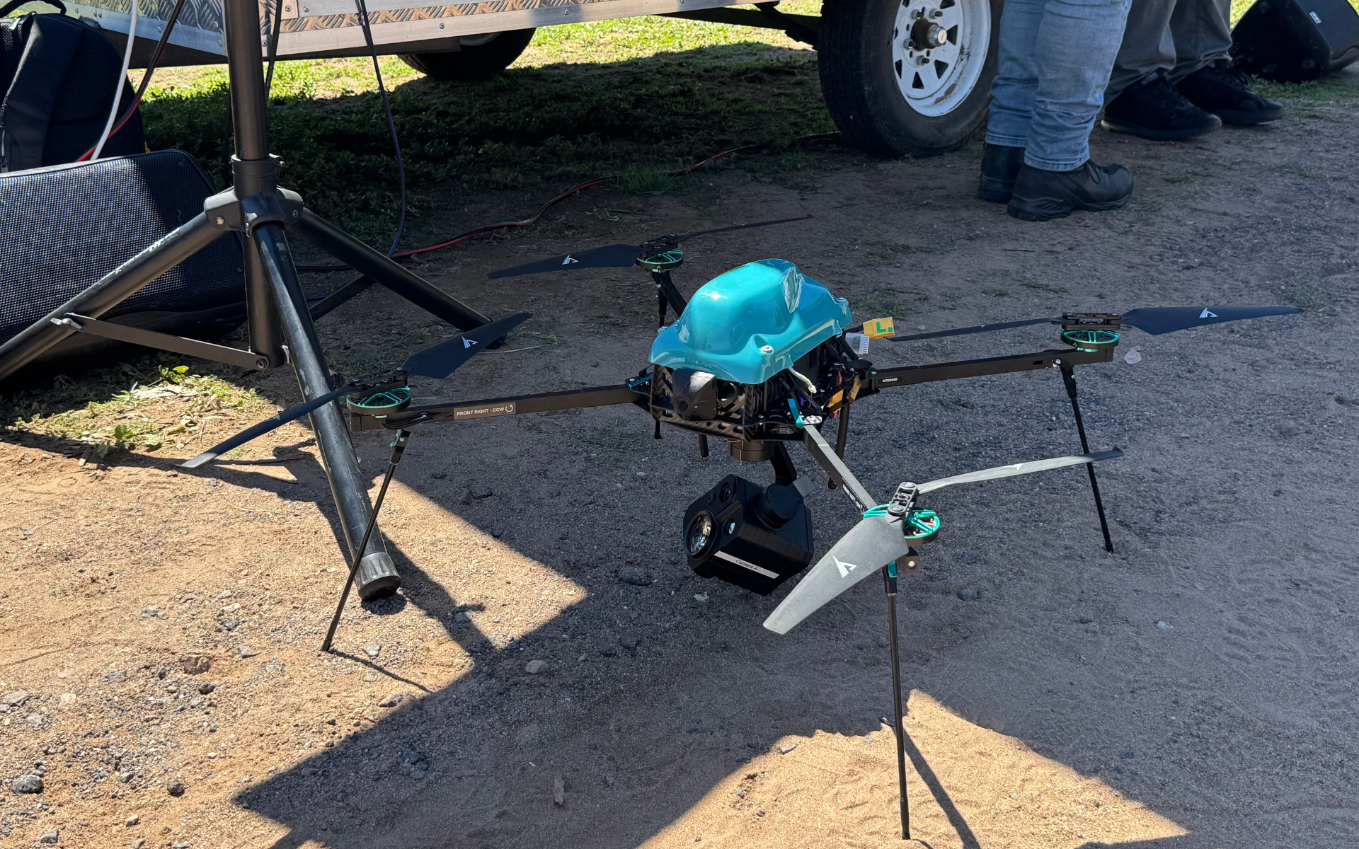
The ANU Bushfire Research Centre of Excellence Arace Angle drone is used for surveillance of pre and post prescribed burn activities and ideal for testing ignition detection capabilities. Credit: Yizhi Li
Many bushfires begin late at night from lightning strikes but remain undetected for hours, allowing them to grow rapidly by morning. Professor Robert Mahony from ANU outlined research at the university’s Bushfire Research Centre of Excellence focused on using long-range autonomous drones to detect fires earlier during the critical overnight period following lightning storms. The ANU team is developing medium-sized fixed-wing drones capable of flying hundreds of kilometres while carrying thermal sensors and advanced detection algorithms that can identify even very small heat sources, such as smouldering tree roots or hidden ignitions. By automatically detecting hotspots and generating detailed location data and 3D site models for emergency services, the system could alert fire crews hours earlier, enabling faster response and potentially preventing small ignitions from becoming major bushfires.
UAS Technical Coordinator Steven Young from Western Sydney University presented research exploring how drone-mounted LiDAR sensors could improve land search and rescue operations by revealing features hidden beneath dense vegetation. LiDAR produces detailed 3D point clouds that allow responders to strip away canopy layers and identify tracks, structures or potential human forms that may be invisible in standard aerial imagery. Mr Young demonstrated how machine-learning models could analyse these datasets to detect human-sized shapes, even when individuals are stationary. He also outlined ongoing work to combine LiDAR with hyperspectral sensing to better detect man-made materials such as clothing, improving the chances of locating missing persons in complex terrain.
Coordinating fleets of autonomous drones
Professor Kathryn Kasmarik from the School of Systems & Computing and Co-Founder of the AIR (AI and Robotics) Group at UNSW Canberra showcased research into swarm robotics and how coordinated groups of drones and ground robots could support emergency response. She explained that the work is inspired by natural systems such as bird flocks and ant colonies, with her team developing algorithms that enable multiple autonomous vehicles to coordinate their movements, share information, and rapidly cover large areas without colliding. These robotic swarms could help locate hazards such as gas leaks, identify areas of interest, and deploy specialised sensors, offering new tools for search, detection, and situational awareness. The research highlights how coordinated drone fleets could help emergency services assess dangerous environments more quickly and safely.
PhD student Mona Raoufi from the University of Wollongong also presented research on improving bushfire suppression using coordinated fleets of uncrewed aerial vehicles (UAVs) guided by machine learning. Her work focuses on addressing limitations in current aerial firefighting, such as inconsistent retardant drops, incomplete data and the difficulty of tracking dynamic fire boundaries. By applying reinforcement learning and advanced control systems, the research aims to enable UAVs to coordinate their movements, follow fire fronts more precisely and adapt to environmental factors like wind. The approach could improve the accuracy and efficiency of aerial suppression while allowing multiple drones to work together to cover large fire zones.
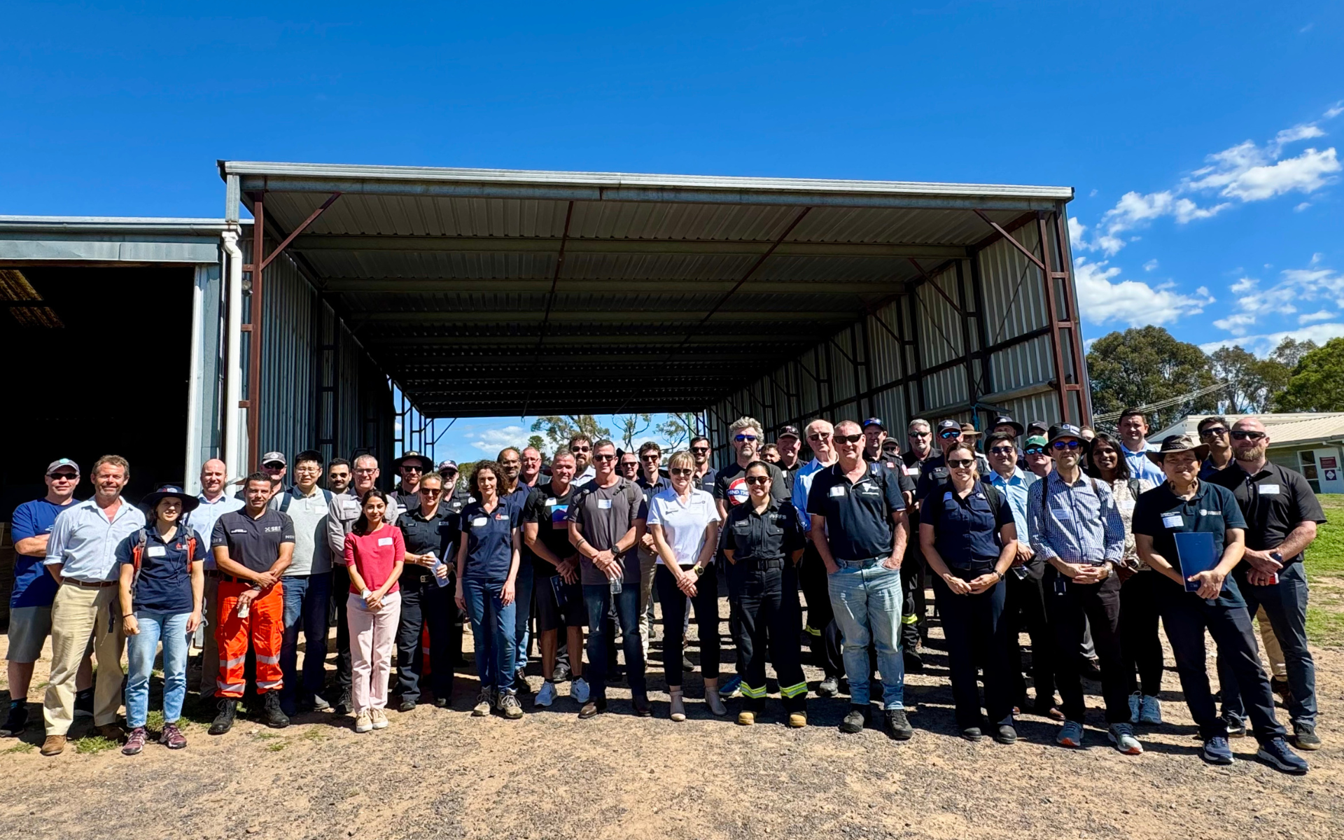
The event at ANU’s Field Robotics Centre near Canberra brought together researchers, industry innovators and emergency service representatives. Credit: Yizhi Li
Dr Ray Telikani from the Data Science Institute at the University of Technology Sydney discussed his research into truck-drone systems designed to support bushfire response in large, remote environments. The concept uses trucks to transport and deploy fleets of drones closer to fire zones, overcoming limitations such as battery life, sensor range and communications coverage. Dr Telikani’s team is developing AI models, including deep reinforcement learning, to coordinate multiple drones, optimise flight paths and enable decentralised decision-making directly on the drones in areas with limited connectivity. The research also examines cybersecurity risks, exploring how adversarial attacks could manipulate drone AI systems and developing defence methods to detect and correct compromised data.
Operating safely in complex airspace
Flight test engineer Connor Wilson from Firetech Labs presented results from the Fire Traffic Management (FATIM) trials, which are exploring how drones can safely operate alongside crewed firefighting aircraft. The trials tested procedures, separation rules and a shared digital “common operating picture” to improve situational awareness between helicopters and remotely piloted aircraft during fire operations. The results showed drones can potentially operate within proximity to firefighting helicopters under defined procedures, but also highlighted challenges such as crew workload, altitude sourcing inconsistencies, and technology limitations.
Extending drone endurance and capabilities
William Murley from HydroGien presented a hydrogen-on-demand technology developed with researchers from the University of Newcastle, the University of Sydney, and Macquarie University. The system generates hydrogen by reacting aluminium with water, producing fuel as needed rather than storing it in high-pressure tanks. Mr Murley said the compact unit could significantly extend drone endurance, potentially three to six times longer flight times, while also reducing diesel consumption in heavy vehicles by up to 40 per cent. The technology is an example of how alternative energy systems could expand the operational range of drones and other platforms across industries including mining, transport, and emergency response.
Dr Endrowednes Kuantama, co-founder of the Advanced Drone Systems Research Centre at Macquarie University, presented research on technologies designed to extend drone operations through seamless handover and mid-air battery swapping. His team is developing a system where a “mothership” drone autonomously delivers fresh batteries to another drone mid-flight, enabling continuous monitoring without landing. The researchers are also creating protocols which allow one drone to hand over a tracking task to another without losing sight of a moving target, using high-precision localisation and data sharing rather than relying solely on GPS or visual features. The technologies aim to support applications such as bushfire monitoring, wildlife tracking, and shark surveillance, where uninterrupted aerial observation is critical.
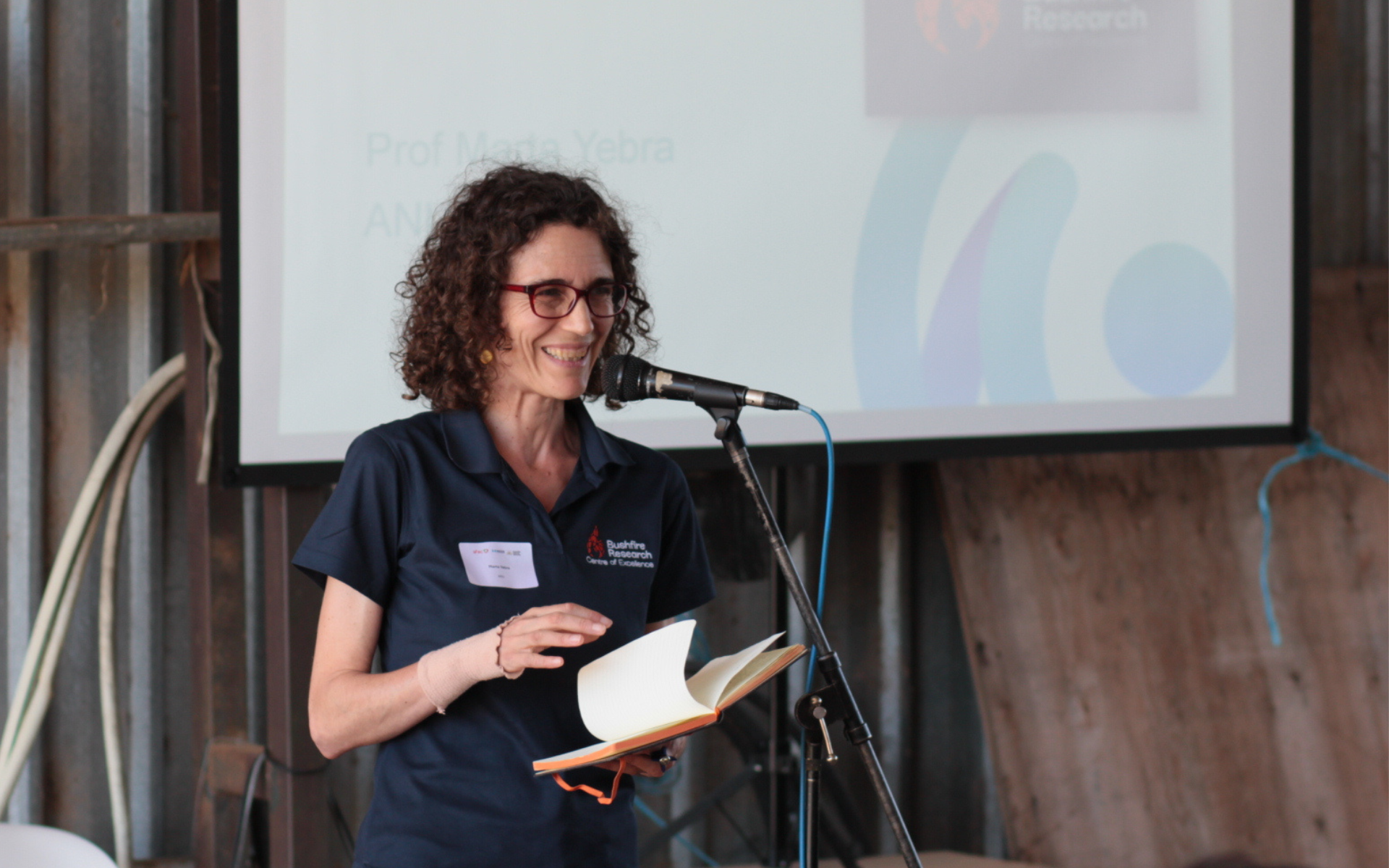
Professor Marta Yebra. Credit: Yizhi Li
The future of emergency service drones
Closing the event, Director of the ANU’s Bushfire Research Centre of Excellence, Professor Marta Yebra highlighted the rapid pace of innovation in drone technologies for emergency management.
“What this makes clear is that drones are evolving rapidly, not just as aircraft, but as increasingly capable systems that combine sensing, autonomy and communications,” she said.
Professor Yebra said the next major challenge is no longer the technology itself, but scaling operations and fully integrating drones into emergency service workflows and information systems alongside other sensing platforms.
“Because in reality no single sensor, no single platform and no single piece of information or asset is perfect… the real value emerges when they work together to fill specific gaps for safer operations and better decisions.”
“The event was a great example of collaboration in action, with emergency management personnel engaging directly with researchers and industry to explore emerging technologies and provide operational insight,” AFAC Aviation Research and Evaluation Manager Deb Sparkes said.
“It also reinforced that integrating these capabilities into routine operations will be an incremental process, built on testing, learning and refinement.
“It is exciting to think how all these technologies will integrate to keep communities safer.”