
Satellite-enabled smart sensors could transform monitoring of Australia’s forests
Scientists are trialing satellite-enabled smart sensors on trees across the Greater Blue Mountains World Heritage Area to provide an unprecedented picture of how Australia’s forests are responding to changing environmental conditions.
Using low-Earth-orbit satellites, the project will extend continuous environmental monitoring into remote forests beyond the reach of mobile networks including parts of western NSW. It will collect real-time data on how individual trees and ecosystems respond to drought, bushfire and climate change.
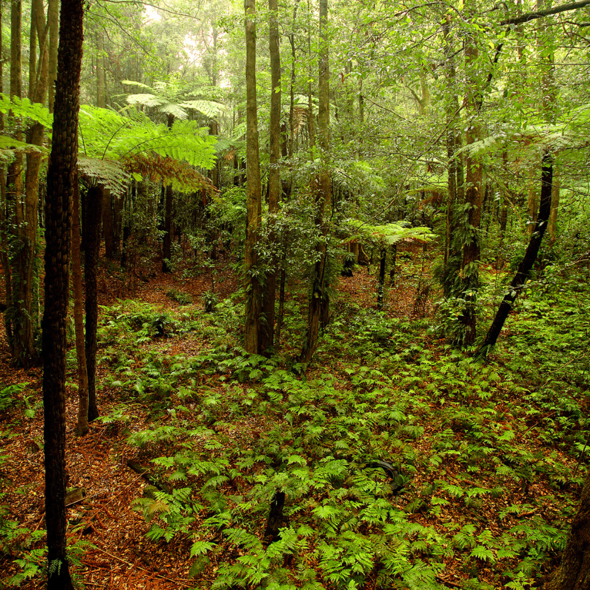
The World Heritage-listed rainforest at Scenic World in the Blue Mountains will be monitored in the project. Credit: Scenic World

The Scenic Skyway above the rainforest. Credit: Scenic World
Better information about how forests respond to environmental change will help governments, land managers and researchers make more informed decisions about biodiversity conservation, carbon storage, climate adaptation and natural hazard management such as bushfires and drought.
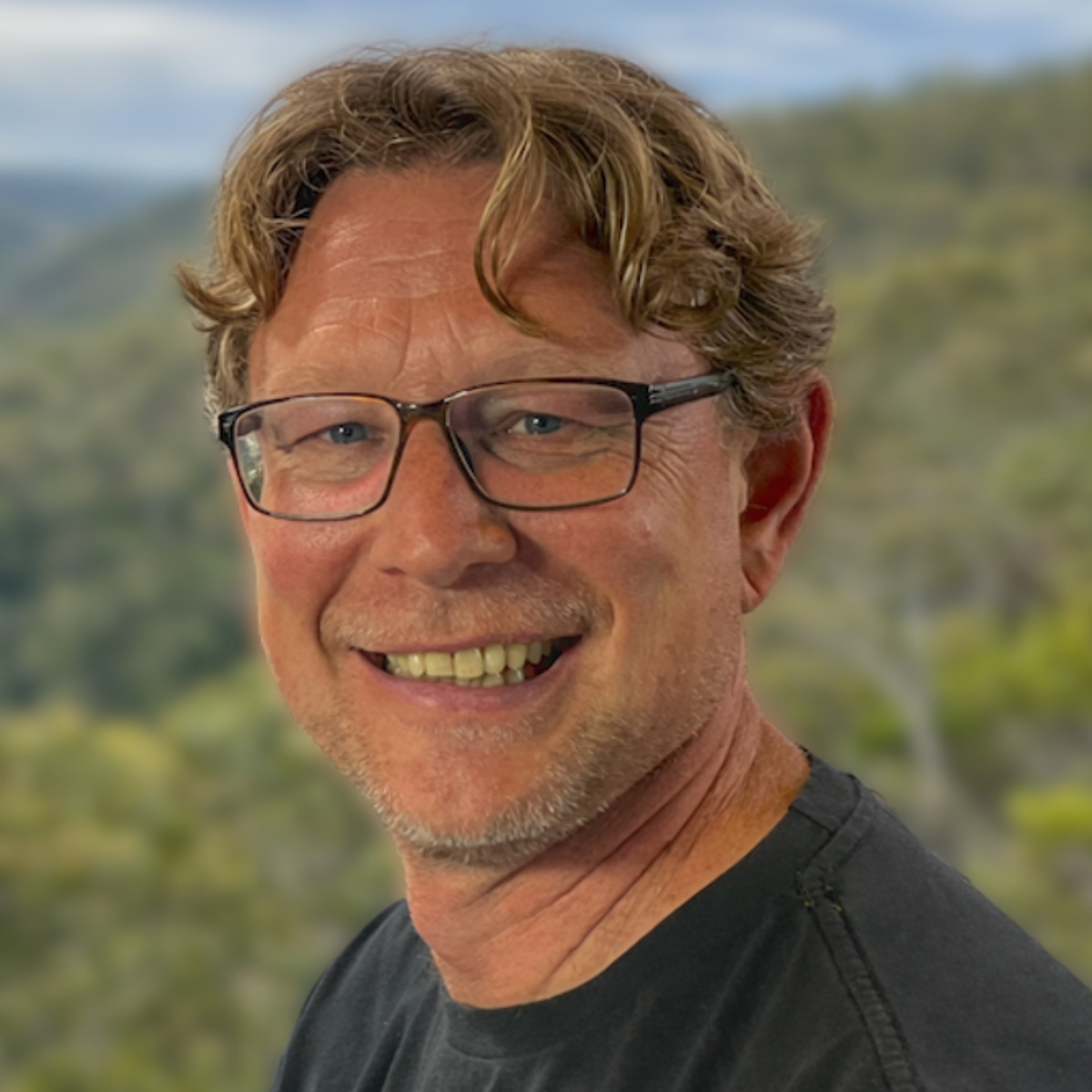
Professor Brendan Choat. Credit: Supplied
Project lead Professor Brendan Choat from the Hawkesbury Institute for the Environment at Western Sydney University said Australia has relatively few intensively monitored forest plots capable of continuously measuring how trees and ecosystems respond to environmental change.
"Australia's forests are changing as our climate changes, but until now we've lacked the continuous monitoring needed to understand exactly how they respond,” Professor Choat said.
“This project will give us an unprecedented picture of what happens before, during and after events such as drought and bushfire, helping us better protect these ecosystems into the future."
Led by researchers from Western Sydney University and UNSW Sydney, the Space-Enabled Smart Sensing for Forest Monitoring project is being funded through the NSW Smart Sensing Network's (NSSN) Grand Challenge Fund.
The project brings together Luxembourg-based satellite telecommunications company OQ Technology, Scenic World, the Blue Mountains World Heritage Institute and the NSW Space Research Networkto develop the next generation of environmental monitoring technologies.

Mulga woodlands near Narran Lake are among the project’s established monitoring sites, with data currently transmitted via the 4G mobile network

A tree in a monitoring plot in Mulga regrowth south-east of Bourke, fitted with three sensors measuring sap flow, stem diameter and soil water. Credit: Daniel Falster
Unlike traditional monitoring, which relies on periodic field visits or sensors within mobile coverage, the project will provide continuous, real-time measurements from remote forests. The sensors will monitor how trees use water, grow and respond to environmental stress, while also measuring soil moisture, microclimate, wildlife activity and insect populations.
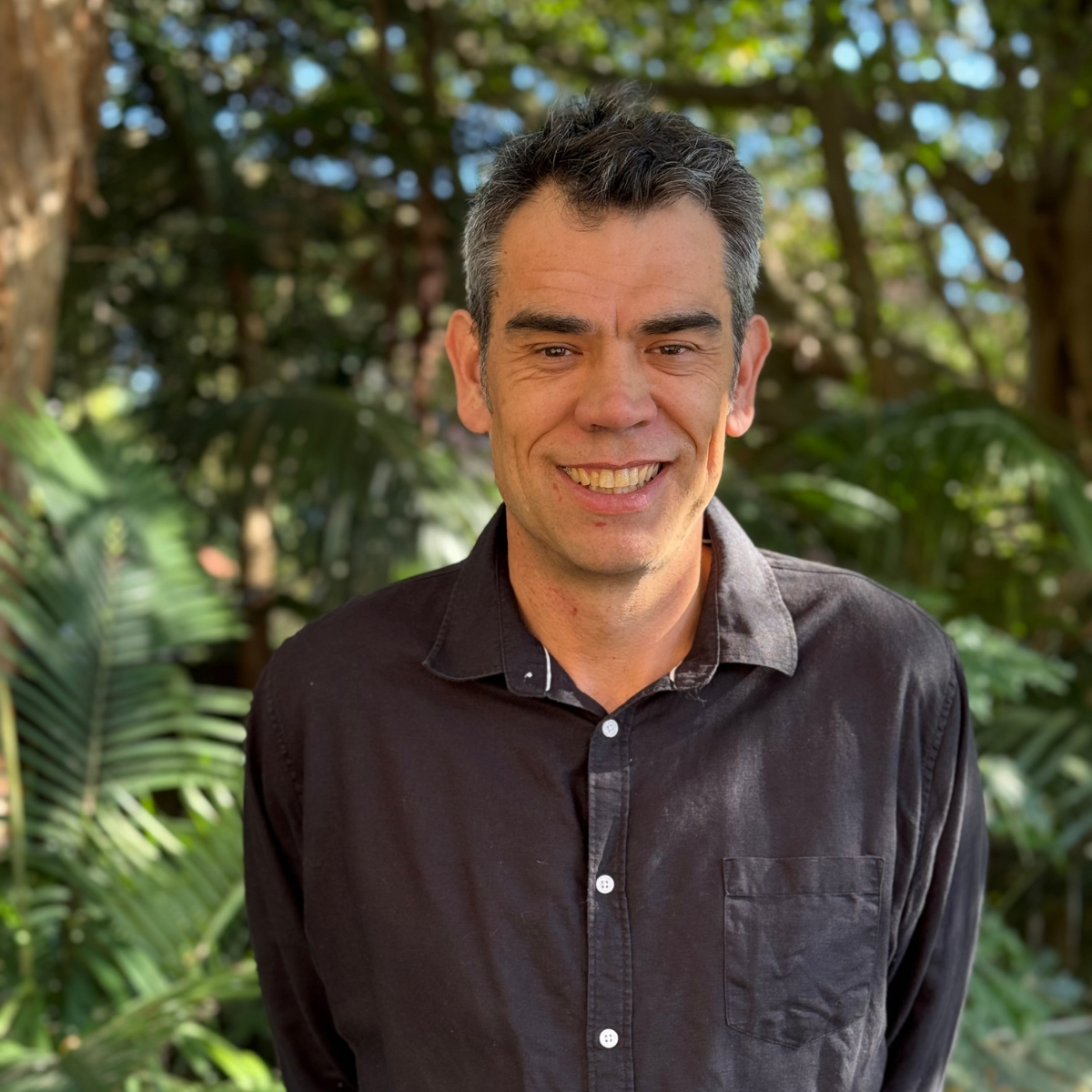
Associate Professor Daniel Falster. Credit: Kathleen Falster
Building on Western Sydney University’s Blue Mountains Hub for Ecology and Conservation, and long-term monitoring sites near Bourke established by UNSW ecologist Associate Professor Daniel Falster, the project will create a connected network spanning ecosystems from the World Heritage-listed rainforests of the Blue Mountains to semi-arid woodlands near Bourke.
The project also builds on lessons from the 2019–20 Black Summer bushfires and WSU's Dead Tree Detective citizen science project, highlighting the need for continuous monitoring of Australia's forests.
Associate Professor Falster said the expanded monitoring network would provide unprecedented insights into Australia's remote forests.
“We are working at four locations east and west of Bourke, from Narran Lakes to Wanaring, in collaboration with Climate Friendlyon properties where tree regeneration supports carbon projects,” A/Prof Falster said.
“While the existing sites are within the outer limits of mobile coverage, many comparable forests across this vast region, including Sturt National Park, are not. Satellite-enabled sensing could allow us to extend continuous monitoring into these more remote areas and gain a much clearer picture of how Australia’s inland forests are changing.”
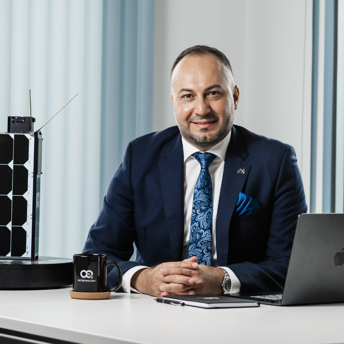
Omar Qaise. Credit: OQ Technology
Successful field validation could pave the way for wider adoption of the technology across forestry, biodiversity monitoring, carbon farming, agriculture, land rehabilitation and natural hazard management.
OQ Technology Founder and CEO Omar Qaise said the project demonstrates the growing importance of satellite-enabled IoT infrastructure in supporting environmental monitoring in remote and climate-sensitive regions.
"Australia is an ideal environment to showcase how satellite communications can support critical monitoring applications in remote and climate-sensitive regions,” Mr Qaise said.
"The long-term opportunity is not only to monitor forests more effectively, but to build a model for resilient, standards-based connectivity that can support remote industries, public infrastructure and climate adaptation more broadly."
Scenic World Sustainability Coordinator Ben Allen said the project would establish a new rainforest monitoring site within Scenic World's conservation estate.

A sensor on tree at the Bullaburra wet sclerophyll site in the Blue Mountains measures tree water use. Credit: Neil Ross, Western Sydney University
"At Scenic World, we feel deeply privileged to care for our historic site bordering the World Heritage-listed Blue Mountains National Park," Mr Allen said.
“This project will help us better understand and monitor the health of our rainforest over time, strengthening our efforts to protect and sustainably manage this remarkable environment for generations to come.”
Blue Mountains World Heritage Institute CEO Joel Dalberger said the project would provide valuable real-time insights into ecosystem health while creating a model for environmental monitoring that could be applied well beyond the Blue Mountains.
"The combination of satellite communications and continuous sensing will provide new opportunities to better understand and protect some of Australia's most significant natural landscapes."
The NSW Space Research Network, a sister network to the NSSN, is also supporting the project. Business Development Manager – Industry Engagement Maurice Borer said it demonstrated how collaboration can accelerate the adoption of space-enabled technologies.
"The project shows how research networks can build strategic partnerships, foster international collaboration and translate space-enabled technologies into practical outcomes aligned with Australia's national science and civil space priorities," he said.
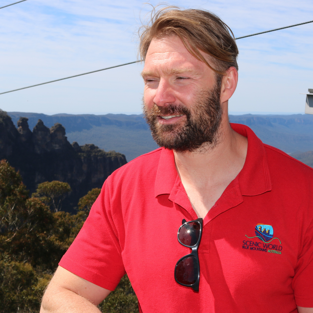
Ben Allen. Credit: Supplied
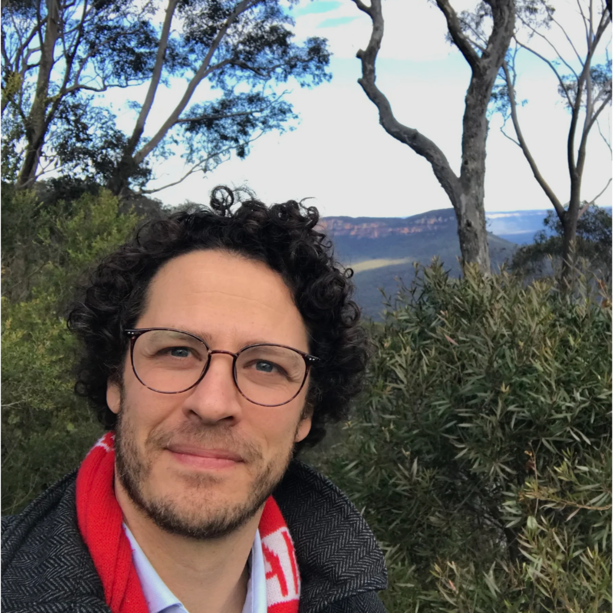
Joel Dalberger. Credit: Supplied

Maurice Borer. Credit: Supplied

Dr Tom Hu. Credit: Supplied
Environment & Agriculture Theme Lead at the NSSN, Dr Tomonori Hu, said the project demonstrates how collaborative research can translate world-class science into practical solutions for climate resilience and environmental management.
"By bringing together expertise in environmental science, satellite communications and smart sensing, this project has the potential to transform how Australia monitors forests and responds to future environmental challenges,” Dr Hu said.

Diagram of the proposed plot sensor network, showing how plant, soil, acoustic, insect, airborne and environmental sensors will work together to monitor forest health, biodiversity and carbon dynamics. Credit: Brendan Choat